Industries
Digital twins for virtual surveying and asset/infrastructure management.
Cities and Governments
Optimize land management and urban planning with high-precision digital twins and AI-assisted asset inventories.
Jakarto provides public administrations with tools leveraging digital twins to improve asset and infrastructure management while significantly reducing time spent in the field.
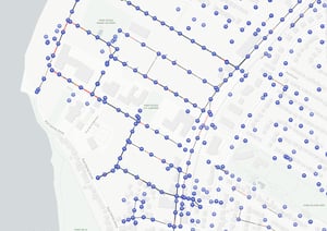
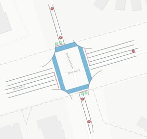
From roadway maintenance and asset management to urban forestry and resource optimization, our solutions support decision-making and enhance the efficiency of public services.

Public Utilities
Optimize overhead network management with reliable, precise 3D data.
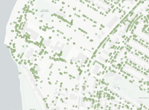
Minimize weather-related risks through vegetation control, change detection on aerial and surface networks, and accurate asset inventory.
Our solutions streamline intervention planning, reduce maintenance costs, and limit field visits.

Engineering and Surveying
Jakarto provides accurate 3D models, enabling complete site visualization and minimizing the need for return field visits.
Our solutions optimize design, modeling, and analysis, reducing costs and intervention risks.
Ports and Airports
Critical infrastructures like runways, docks, and terminals require continuous monitoring without disrupting operations.
Our tools enable proactive maintenance planning, minimizing disruptions and ensuring operational continuity.

Asset Inventory
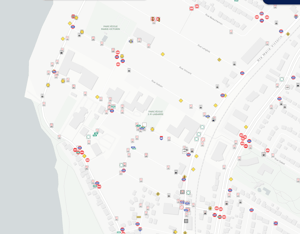
AI-Driven asset inventories from the digital twin, ensuring consistent and comprehensive representation of the reality.
Explore all available Asset Inventories
The Jakarto Advantage : by the Numbers
Trusted by leading organizations
