.png?width=300&name=Jakarowns_Split%20(1).png)
Unlock the Full Value of your Mobile Mapping Data
Discover Jakarto’s Innovative Platform!
Empower Your LiDAR Datawith Jakarto Cutting-Edge Platform!
Diverse tools for leveraging your LiDAR and Imagery data.

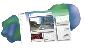
How it works
Capture Data
Mobile mapping data capture :
- Your Third-Party Data:
- Z&F
- Trimble
- Riegl
- Leica
Upload Data
Data processing :
- Digital twin generation
- Cloud optimized data
conversion
- Online publishing
Use Online / Get Data
Data usage in any environment :
- Jakartowns (Saas)
- API
- Tiles
- Data Downloader
- Plugins
SCHEDULE A MEETING FOR A DEMONSTRATION
When 3D becomes 2D
Real-time generation from your point cloud data, providing
current and precise visualization layer in any GIS.
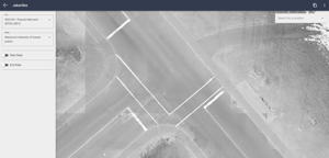
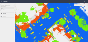
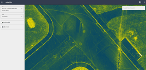
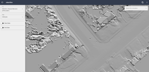
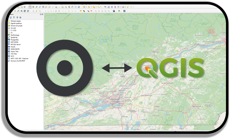
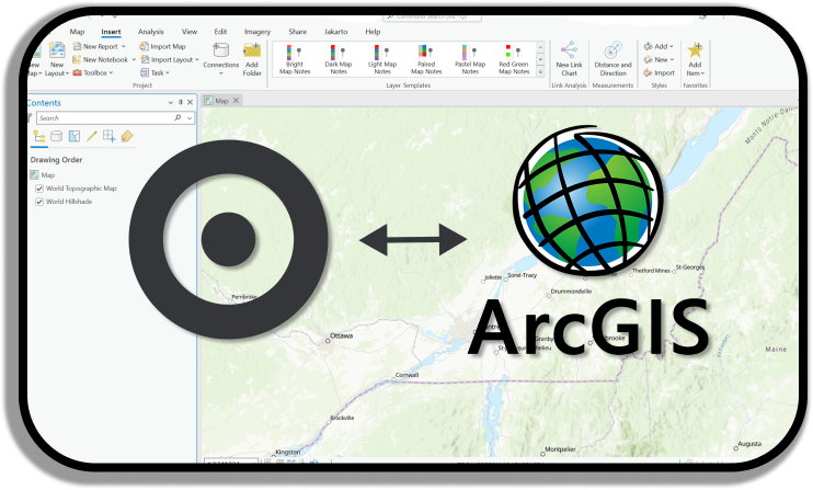
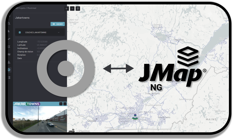
Image viewer
Connect/Embed your imagery data in any application, software or website.
Downloader
Selecting a polygon for exporting specific point cloud data into LAS files is made easy.
Have any questions ?
Maximize the Potential of your Mobile Mapping
Data with Jakarto platform!
Fast-Track LiDAR Data accessibility
Quickly access LiDAR & 360 imagery data online
Cloud based Data Storage solution
Effortlessly access, manage, share, and work with data online
Improve your productivity
Harness the full potential of geospatial data instead of merely managing it
Valorized Your Data
Leverage your data into our platform and create added value
with your customers


.png?width=300&height=104&name=Data%20(3).png)
